
Georgia (country)
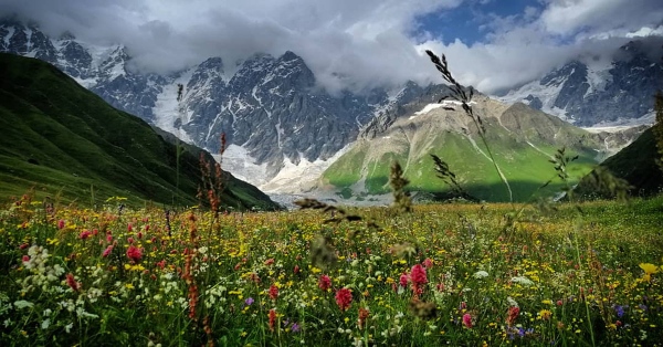
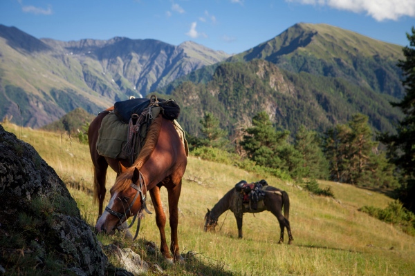
Georgia is a wild land with a relatively untapped and diverse array of hiking, camping and outdoor activities. The Caucasus Mountains that encompass Georgia boast some of the most impressive peaks in the world and draw hikers and mountaineers from all over the world. There are around 1220 named mountains in Georgia, and the top three peaks are Mounts Shkhara (5193m), Janga (5074m) and Mount Mkinvartsveri (Kazbegi) (5033m); this is compared to Mont Blanc, which sits at 4809m and is the highest in the Alps.
Upper Svaneti
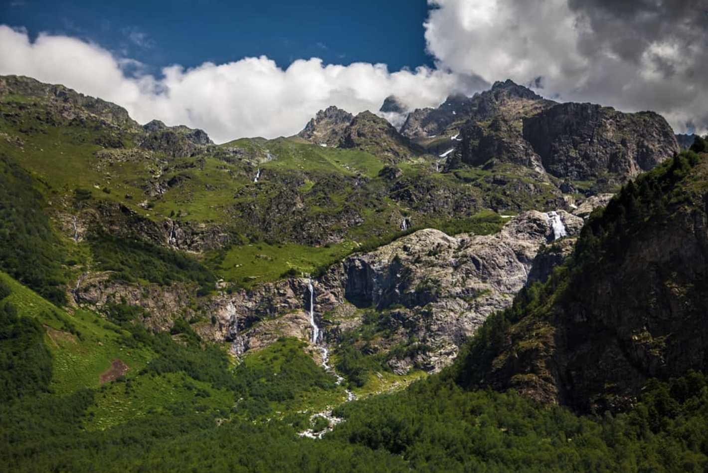
Svaneti is arguably the most beautiful part of Georgia, making it the country’s primary location for hikers and adventurers. Located in the northwestern part of Georgia, Svaneti sits at around 1.800m on the southern slopes of the Central portion of the Greater Caucasus Mountain Range and is home to 4 of 10 of the Greater Caucasus highest mountains, as well as Georgia’s highest mountain, Mount Shkhara, which overlooks, in part, the highest permanent settlement in Europe, Ushguli.
Borjomi-Kharagauli National Park
Borjomi’s history as a protected area goes all the way back to the feudal ages when the forests of these lower Caucasus mountains were protected for hunting by feudal lords. The region has long been considered one of the most beautiful and prestinely preserved forest landscapes in all of Georgia and has been valued by Georgians, monarchs of the Russian Empire, and international environmental organizations alike.
Kazbegi Municipality
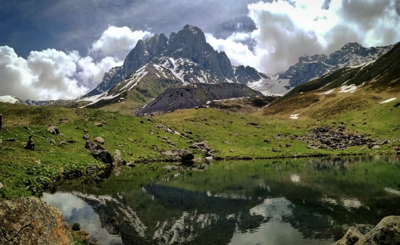
Kazbegi is one of five municipalities in the Mtskheta-Mtianeti region of north-eastern Georgia. The main feature of the area is the village of Stepantsminda, which sits at 1,740 m (5,708 ft) at the base of one of Georgia’s most famous mountains, Mount Kazbek or Mount Mkinvartsveri. At 5,033 m (16,512 ft) with a prominence of 2,353 m (7,719 ft), it is the most prominent mountain in Georgia. Having more than 1,500 (4,921 ft) of topographic prominence, it is an ultra-mountain, which makes it a draw to mountaineers internationally. In total, there are 78 named mountains in Kazbegi Municipality.
Kakheti
Tusheti is one of the most remote and untouched parts of Georgia with its own unique culture, traditions, and food. If you are looking for a less crowded and more culturally unique option for hiking in Georgia, Tusheti is the perfect place to go. Especially throughout the month of August there are a variety of unique and fascinating Tushetian celebrations throughout every village in the region that will give hikers a glimpse into a little seen culture that have retained much of its ancient pagan traditions and even pictorial writing system.
Lagodekhi National Park
Lagodekhi Nature Reserve was started in 1912 under the Russian empire and is the oldest nature reserve in Georgia. The entire park spans the length of 24,451 hectares (94.41 sq mi) and lies along the northeastern tip of the Georgian in Kakheti along the southeastern section of the greater Caucasus Mountains along the border with Azerbaijan and Dagestan in Russia. Many of the trails go along the Azerbaijan and Russian borders. There are 5 named mountains in Lagodekhi National Park. The highest and the most prominent mountain is Khochaldag.
Great Smoky Mountains National Park
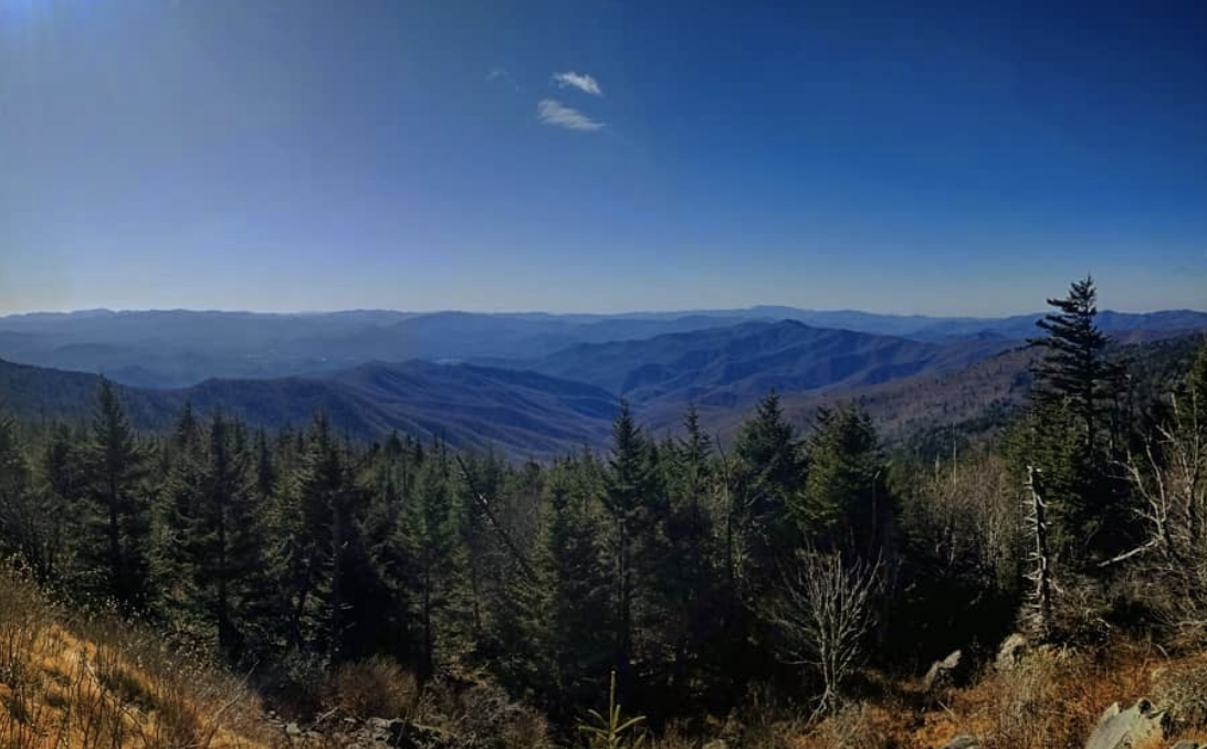
The Great Smoky Mountains National Park is the most visited national park in the entire US, with 11.3 million recreational visitors coming to the park in 2016 alone, and straddles the Great Smoky Mountain Range up to (and encompassing part of) the Blue Ridge Mountains along the Eastern Tennessee and Western North Carolina Border. The park is 522,419 acres total in the heart of the Appalachian Mountains with nearly 95% of the park forested and almost 36% of it, 187,000 acres, estimated by the Park Service to be old growth forest with trees that predate European settlement of the area when the land was largely inhabited by Native American tribes. It is one of the largest deciduous, temperate, old growth forests in North America.
Dolly Sods Wilderness
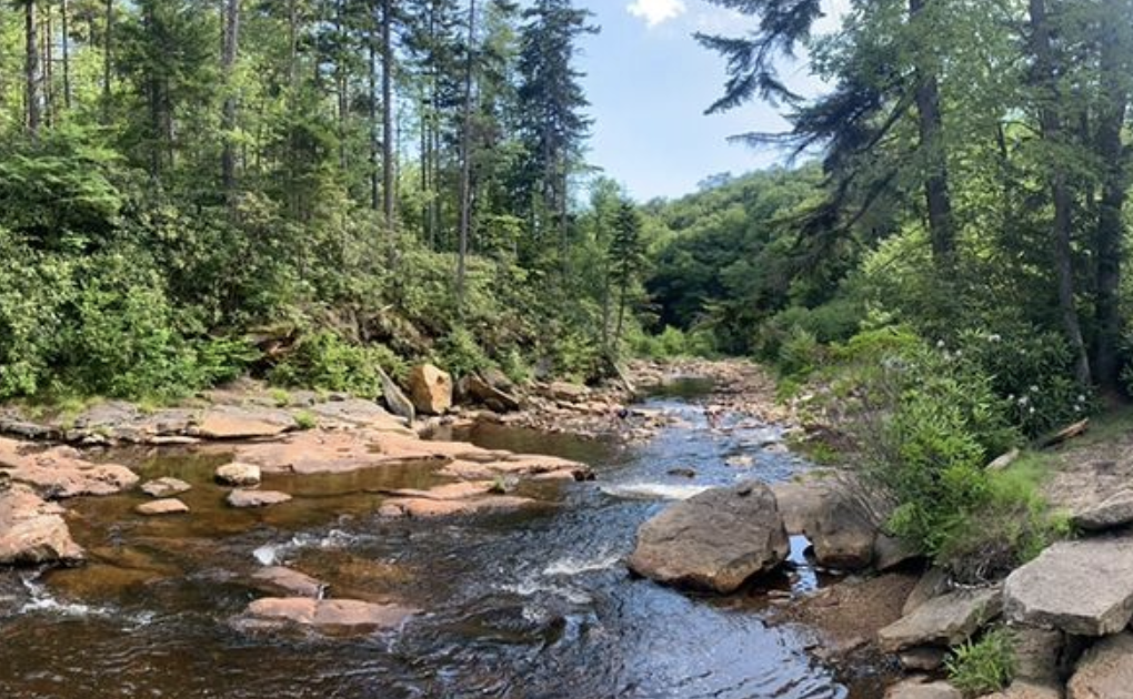
Dolly Sods is a 17,371 acre US Wilderness Area located in the Monongahela National Forest, which encompasses, in part, the Allegheny Plateau, the Cumberland Mountains, and the Cumberland Plateau (which encompasses Dolly Sods specifically) of the central Appalachian Mountain Range. Dolly Sods is part of the Potomac Highlands region of Eastern West Virginia, bordering Virginia and Maryland.
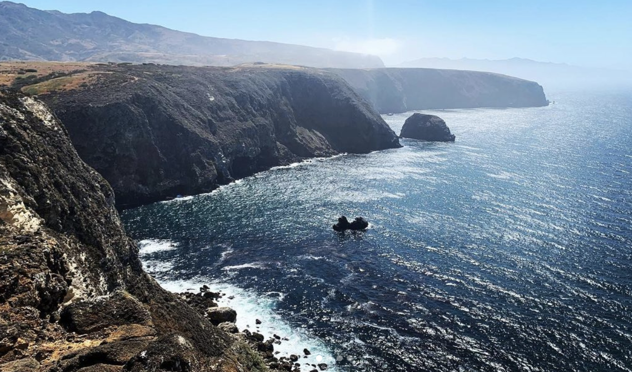
Channel Islands National Park
Yosemite National Park generally steals the limelight as California’s most beloved national park. However, just a few miles off the coast of southern California lies an outdoor recreation area of five remote islands that are perfect for any adventure—Channel Islands National Park. The park contains 23 named mountains, the highest of which is Montañon Peak (1,808 ft/551 m) and the most prominent of which is Soledad Peak (1,572 ft/479 m).
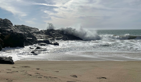
Point Mugu State Park
An hour north of Los Angeles in Ventura, California, Point Mugu State Park is a sterling example of coastal desert landscapes that makes for a great day trip, or overnight getaway. The park has 5 miles of shoreline and more than 70 miles of hiking trails inland and along the high ridge overlooking the coast. The Park is just south of the city of Port Hueneme and the city of Oxnard, California and borders the Naval Base of Ventura County.
Los Angeles County
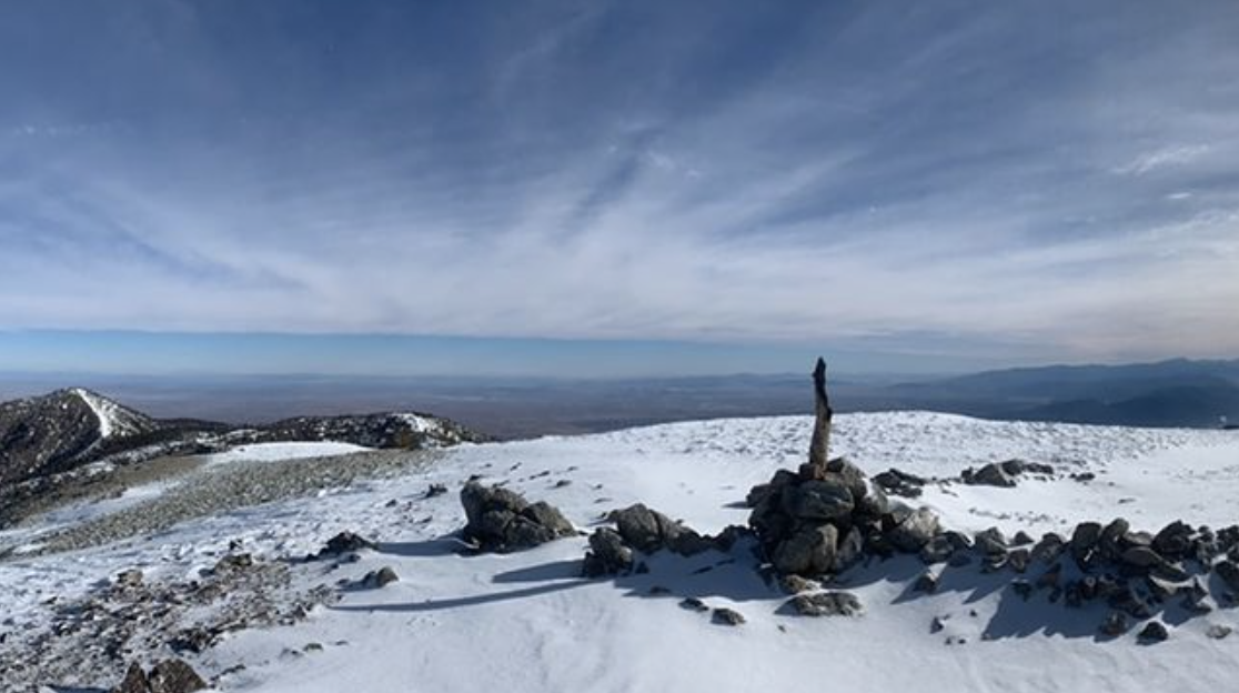
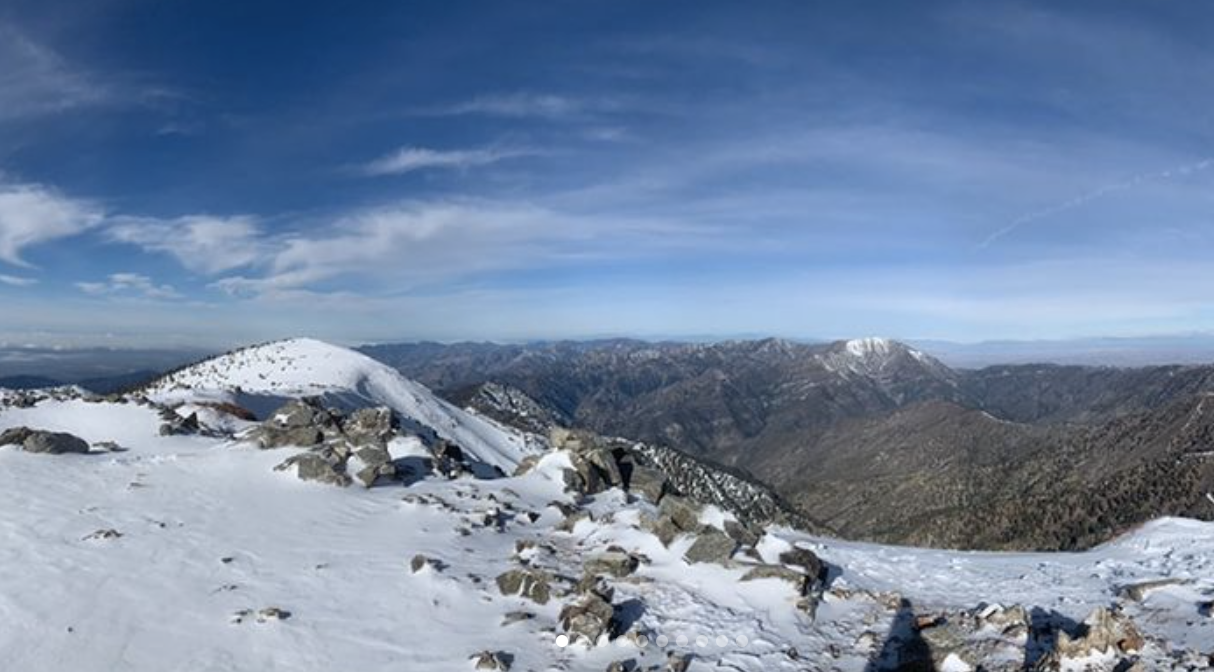
While Los Angeles County in the southern part of the US state of California is best known for its namesake city and its entertainment industry, it is equally popular for its outdoors community and many hiking opportunities. There are 264 named mountains in Los Angeles County. The highest and the most prominent mountain is Mount San Antonio (also known as Mount Baldy) at 10,069 ft (3,069 m) in elevation.
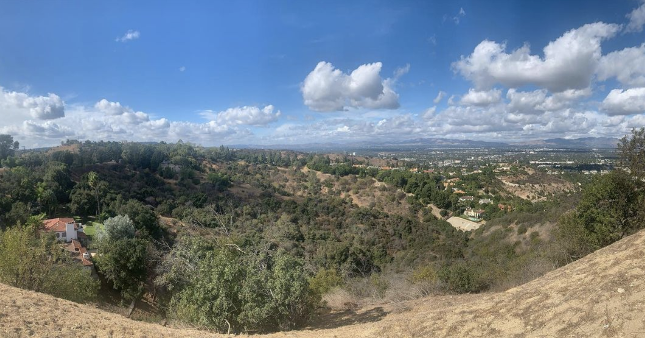
Topanga State Park
Topanga State Park is the largest state park within the LA city limits (sometimes credited as "The largest state park within a city limit in the U.S.") and has up to 11,000 acres of wilderness and thirty-six miles of trails and unimproved roads for visitors to explore. Topanga State Park is part of the Santa Monica Mountains National Recreation Area and is located between West Los Angeles, Topanga Canyon and Malibu. The park has amazing views of the Pacific Ocean and Catalina Island (among other Channel Islands), as well as downtown LA. As such, Topanga State Park is a very popular hiking spot for Angelinos and visitors.
Angeles National Forest
The Angeles National Forest is a favorite getaway for any Angeleno and offers a wide variety of activities from hiking, to horse riding, to cycling, to skiing and snowboarding, and much, much more. The Angeles National Forest is 700,176 acres large and is part of the San Gabriel Mountain Range (and incorporates most of the San Gabriel Mountains National Monument) and the Sierra Pelona Mountain Range, and is located primarily within Los Angeles County in southern California. The forest also extends westward into northeastern Ventura County, in the Lake Piru area. Given its proximity to the ocean, the Angeles National Forest does not have any peak that rises over 11,000 feet, with its tallest peak being Mount San Antonio (10,066 ft), which is better known as Mount Baldy. This makes it a great option for anyone who wants to go into the mountains, but not hassle with the issues of (distant) higher altitude ranges.
Sheep Mountain Wilderness
Featuring tens of thousands of acres of rugged terrain, the Sheep Mountain Wilderness is a federally protected area situated just to the northeast of the city of Los Angeles in the US state of California. The wilderness contains 16 named mountains, the highest and most prominent of which is Mount San Antonio (10,066 ft/3,068 m).
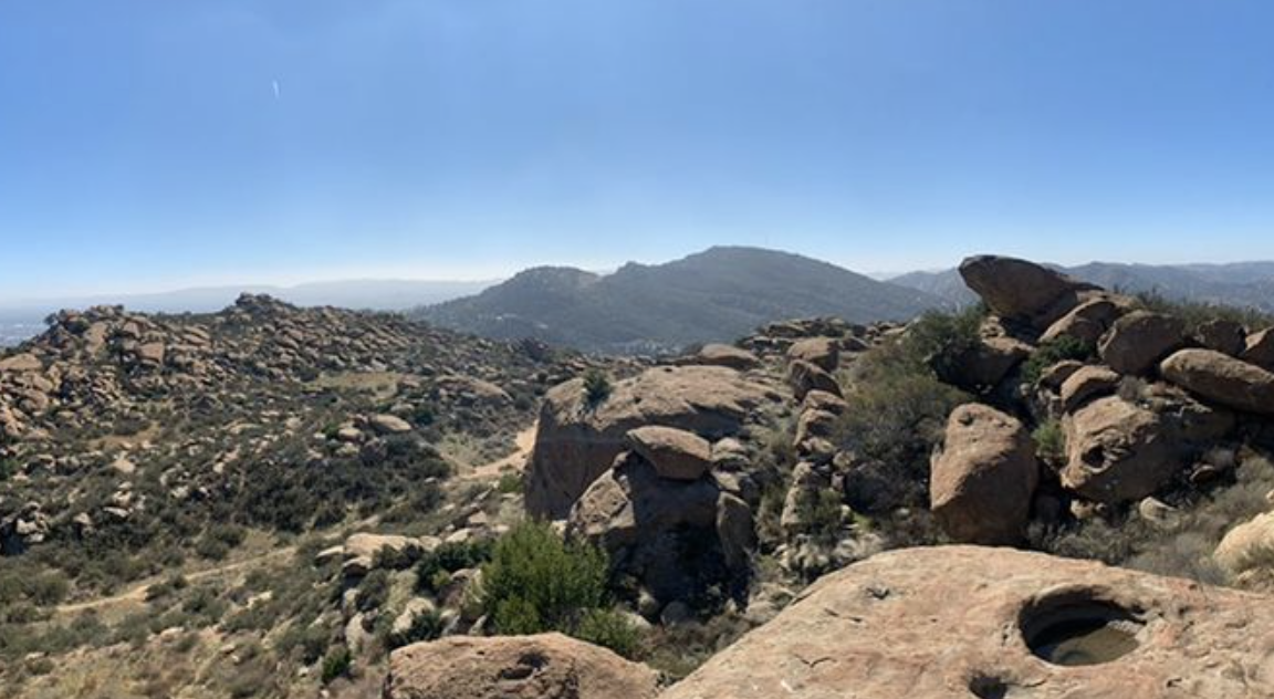
Rocky Peak Park
Just northwest of Los Angeles in the Simi Valley is Rocky Peak Park. Aptly named, Rocky Peak Park is a surprisingly large, 4800 acre desert recreation area that is home to seemingly endless fields of boulders that stack upon themselves to create the many hilly peaks of the park. As part of the Rim Valley Corridor, a community-based effort to expand the Santa Monica Mountains National Recreation Area for the purposes of preserving some of the last remaining wild spaces in the greater Los Angeles area, Rocky Peak Park stretches from the 118 Freeway five miles northward to Las Llajas Canyon in the Santa Susana Mountains between Chatsworth and Simi Valley. Rocky Peak Park is a popular destination for casual hikers and mountain cyclists and a great place for families to visit for the day.
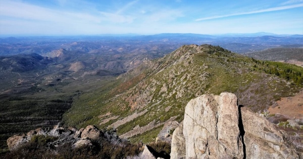
San Mateo Canyon Wilderness
The San Mateo Canyon Wilderness is a rare and pristine 37,000-acre wilderness area located in the Santa Ana Mountains and Cleveland National Forest in Riverside County, California. This relatively untouched chaparral and coastal sage dominated landscape is one of the best places to beat the pace of city life and its diverse landscape is perfect for birdwatching, hiking, horse riding, and hunting.
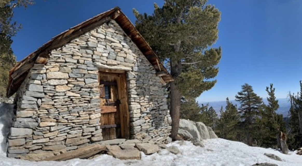
Mount San Jacinto State Park
San Jacinto State Park serves as the pentacle of the San Jacinto Range. As the name suggests, the park encompassed the area surrounding Mount San Jacinto, southern California’s second highest peak next to San Gorgonio (11,490ft), which is visible from the summit. The San Jacinto Peak is a giant, often snow capped crag marked by great upthrusts of weathered granite and is the highest point in the California state park system. The park is surrounded by the San Bernardino National Forest and part of the Santa Rosa and San Jacinto Mountains National Monument. The San Bernardino, San Jacinto, and Santa Rosa ranges that surround and encompass the park as all part of the larger Southern California Peninsular Ranges system. This 14,000-acre park offers over 50 miles of trails in the mountains soaring above the Sonora desert. The park is only 2 hours away from both Los Angeles and San Diego and offers 2 drive up campsites, as well as a number of backcountry campsites for day hikers and Pacific Coast Trail through hikers alike.
Santa Rosa Wilderness
Home to one of the largest herds of Peninsular bighorn sheep in the world as well as some stunning mountain and desert landscapes, the Santa Rosa Wilderness is a federally-protected region located in the southern part of the US state of California. The wilderness contains 5 named mountains, the highest of which is Rabbit Peak (6,654ft/2,028m), and the most prominent of which is Martinez Mountain (6,555ft/1,998m)
Palomar Mountain State Park
Palomar Mountain State Park is a relatively small, yet fun state park located in the southern part of the US state of California that attracts about 70,000 visitors each year. The park contains 2 named mountains, Boucher Hill and Lone Fir Point.
Cuyamaca Rancho State Park
Cuyamaca Rancho State Park is a beautiful outdoor recreation area located in the southern part of the US state of California that offers over 100 miles (160 km) of trails for hikers, equestrians, and cyclists, as well as camping and fishing in the nearby Cuyamaca Lake. The park contains 11 named mountains, the highest and most prominent of which is Cuyamaca Peak (6,496 ft/1,980 m).
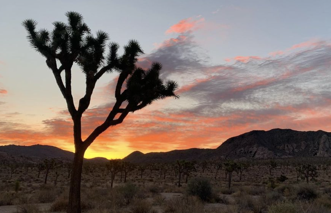
Joshua Tree National Park
Known for its craggy rock formations, vast desert landscapes, and its namesake Joshua trees, Joshua Tree National Park is a federally protected area located in the southern part of the US state of California. The park contains 44 named mountains, the highest and most prominent of which is Quail Mountain (5,817 ft/1,773 m).
Mojave National Preserve
The Mojave National Preserve is a protected area that covers 1.6 million acre (648,000 ha) of rugged desert in the southeastern part of the US state of California. There are 50 named mountains in Mojave National Preserve. The highest and the most prominent peak in the preserve is Clark Mountain (7,927 ft/2,416 m).
Mojave Trails National Monument
The Mojave Trails National Monument is a large federally protected area of vast desert located in the southeastern part of the US state of California. It is the largest national monument in the contiguous US, and it is managed by the Bureau of Land Management. There are 19 named mountains in Mojave Trails National Monument. The highest and the most prominent mountain in the monument is Cady Peak (4,616 ft/1,407 m).
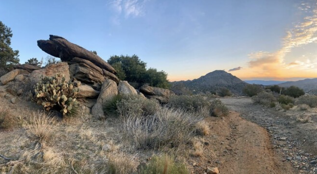
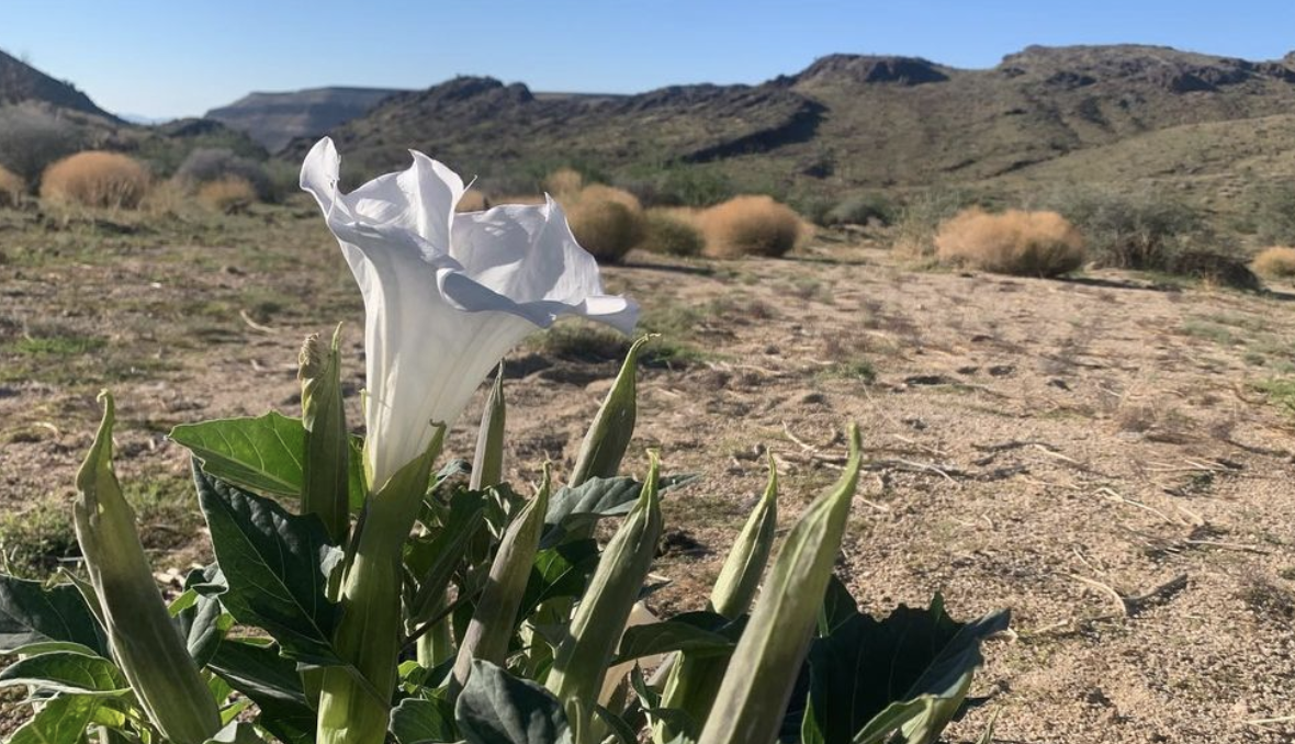
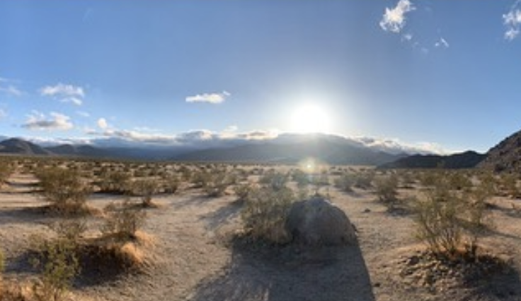
Anza-Borrego Desert State Park
Known for its rugged and arid landscape, Anza-Borrego Desert State Park is one of California’s most beloved state parks. It is also the largest state park, with 585,930 acres (237,120 ha). The park is also home to 40 named mountains, the highest of which is Combs Peak (6,188ft/1866m) and the most prominent of which is Whale Peak (5,341ft/1,628m).
Anza-Borrego Desert State Wilderness
The Anza Borrego Desert State Wilderness encompasses much of the desert landscape in and around Anza-Borrego State Park, California’s largest and arguably most treasured state park. The wilderness area contains 29 named mountains, the highest of which is Combs Peak (6,184 ft/1,885 m), and the most prominent of which is Whale Peak (5,338 ft/1,627 m).